 Fraunhofer Group for Microelectronics
Mobility and Urbanization
Precise local information paves the way for autonomous driving
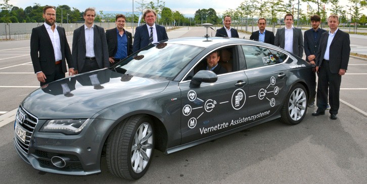
Autonomous driving is the future topic of the automobile industry. To get closer to this target, networked assistance systems are indispensable. Together with the Bertrandt AG company, Fraunhofer IIS is developing a solution to make driving in the future more convenient and safer, while also making sure that it uses fewer resources.
Automated and precise stopping with satellite-based locating only
Existing GPS receivers integrated into vehicles allow positioning accurate to the nearest meter. For more precise locating, the developers at the Fraunhofer Institute for Integrated Circuits IIS are working on combining the satellite receiver with correction data transmitted via the DAB digital radio standard. In the future, other channels will be possible, e.g. the new cellular phone standard 5G or LTE. If the communication systems fail, the vehicle can also access its own data – such as measurements of the wheel revolutions.
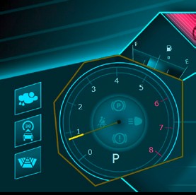
The increased precision is made very clear based on the scenario of automated stopping at a stop line. Customers and partners were presented with the advanced assistance system at a live demo in July. The experts from the automobile industry were very impressed by the result, which was a maximum deviation of 50 cm from the line. This result was achieved with only satellitebased locating and the intelligent combination of information. “We wanted a specialist audience to give a critical evaluation of what can be done with current technology,” explains Dr. Wolfgang Felber from Fraunhofer IIS. That is why the team only uses components that are already found in every modern vehicle. There are no costs associated with the development and installation of new hardware and the driver is not distracted by additional systems.
Improved quality of swarm data
The position of the stop line is currently communicated to the car in advance. In the future, this infrastructural data is intended to be generated dynamically. High-precision locating data from vehicles will also contribute to improved recording of swarm data and will ultimately promote networked autonomous driving. Networking of different vehicles and the quality of the data could, for example, optimize vehicle speeds on bends, for example, and conserve resources by avoiding effects such as tire wear. The position of potholes could also be determined more precisely, which in turn could lead to automatic adjustment of the dampers or, if required, to schedule repairs.
Last modified: